 geocatalogue.geoportail.lu
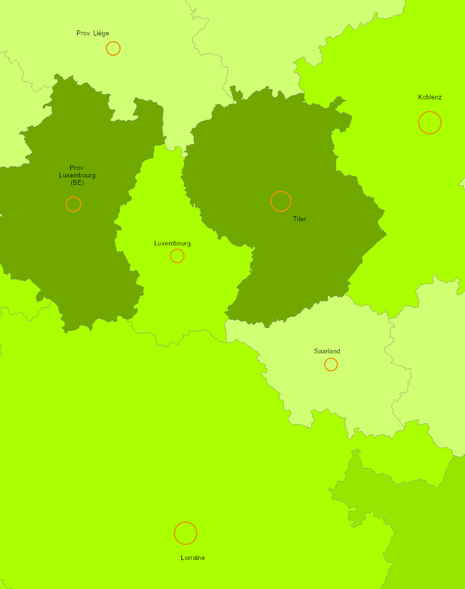
SIG-GR - Ministère du Logement et de l'Aménagement du territoire - Département de l'aménagement du territoire
Type of resources
Available actions
Topics
Keywords
Contact for the resource
Provided by
Groups
Years
Formats
Representation types
Update frequencies
status
Scale
-
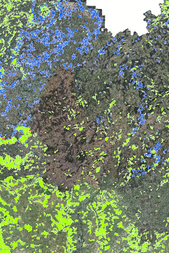
Forest types in the Greater Region 2021 (Lorraine: 2020) - Source: INTERREG VA project Regiowood II (https://www.regiowood2.info/en) - Data: Sentinel-2 from summer 2020 (Grand-Est), spring 2021 (Rhineland-Palatinate, Saarland, Luxembourg) and early summer 2021 (Wallonia). Although the classification is based on different methodologies in different regions, the final result is a consistent cross-border map. The accuracy of the classification is 88%. - Classifications methods: - France:: SPOT4-5 images acquired in 2005 from the vegetation layer of the BD Topo (IGN). Data processing: ICube-SERTIT University of Strasbourg (https://sertit.unistra.fr) - Belgium: aerial image coverage from 2009, 2012 and 2016, LiDAR coverage 2014. Data processing: Gembloux Agro-Bio Tech University of Liège (https://www.gembloux.ulg.ac.be/gestion-des-ressources-forestieres) - Rhineland-Palatinate and Saarland: use of cadastral data (ATKIS). Data processing: Umweltfernerkundung & Geoinformatik University of Trier (https://www.uni-trier.de/universitaet/fachbereiche-faecher/fachbereich-vi/faecher/erdbeobachtung-und-klimaprozesse/umweltfernerkundung-und-geoinformatik) - Luxembourg: use of the dataset "arrondissements forestiers" from ANF. Data processing: Umweltfernerkundung & Geoinformatik University of Trier (https://www.uni-trier.de/universitaet/fachbereiche-faecher/fachbereich-vi/faecher/erdbeobachtung-und-klimaprozesse/umweltfernerkundung-und-geoinformatik) Please note that the date of the "Aerial Imagery" background map data may differ from the Regiowood data depending on the sub-entity of the Greater Region.
-
- Subregional spatial planning documents in the Greater Region and the Upper Rhine 2024 - Sources: DATer 2023, Région Grand Est 2023, MDI Rheinland-Pfalz 2023, MIBS Saarland 2023, GeoRhena 2023
-
- Spatial planning documents at regional level in the Greater Region and the Upper Rhine 2024 - Sources: DATer 2023, MDI Rheinland-Pfalz 2023, Région Grand Est 2023, MIBS Saarland 2023, GeoRhena 2023
-
- Cross-border spatial planning documents in the Greater Region and the Upper Rhine 2024 - Sources: GECT Alzette Belval, Entwicklungskonzept Oberes Moseltal, Eurodistrict SaarMoselle, GeoRhena 2023
-
- Number of nights spent and nights/population ratio in 2022 - Territorial level: NUTS 2 - Sources: Eurostat - European Commission 2023, EuroGeographics. Harmonization: GIS-GR
-
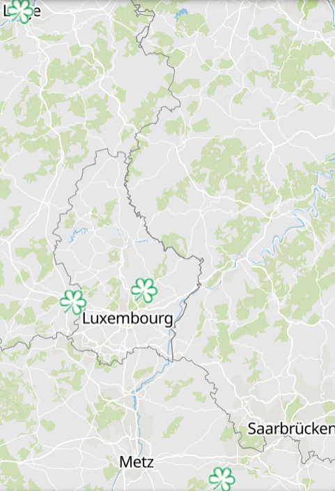
Green stars restaurants of the Guide Michelin 2024 - Source: Guide Michelin 2024
-
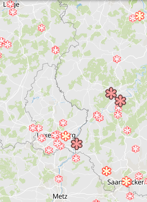
Starred restaurants of the Guide Michelin 2024 - Source: Guide Michelin 2024